FAQ: What are the latest improvements in Carlson Software?
Features and Benefits of all Carlson desktop programs
The list below includes some, but not all, of the commands and functionality that is currently available in ALL Carlson software desktop programs:
- Work natively in DWG format files – whether using the IntelliCAD or AutoCAD platform,
- Import DGN, DXF, DWF files,
- Import and Export LandXML/RoadXML files,
- Export Google Earth KML/KMZ files,
- Export files to be used in GPS guided machine control systems,
- Export DTM, Google, Idan, Microstation, MOSS, Peabody, Topcon, and 12D polyline files
- Customize project folders and sub-folders to organize your project data,
- Incorporate your own CAD Standards Tools into basic drafting functions,
Import, export and convert points using text or most any other format including Civil 3d, - Access to the entirety of the Carlson software File, Edit, View, Draw, Inquiry, Settings, Points and 3D Solids menus including these popular commands:
- Drawing cleanup
- 2d and 3d polyline editing commands to reverse polylines, add/remove segments or vertices, etc.
- Shrinkwrap entities
- Boundary polyline
- Erase and Copy by layer
- 3d Viewer Window
- Surface 3d Viewer
- Search Published Control – an Esri-powered command
Menus in all non-OEM Carlson desktop programs
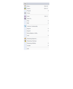
File Menu
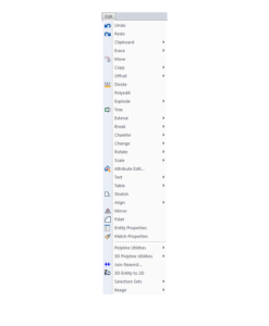
Edit Menu
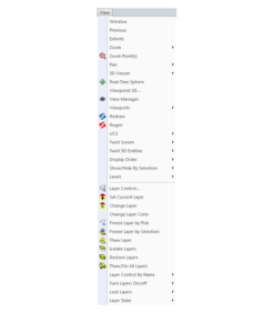
View Menu
Draw Menu
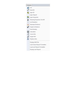
Inquiry Menu
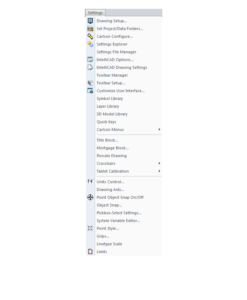
Settings Menu
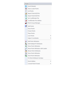
Points Menu
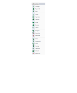
3D Solids Menu
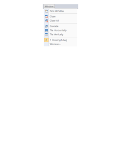
Window Menu
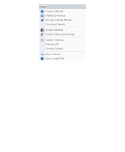
Help Menu
If you find the material on this website helpful, please consider supporting That CAD Girl or one of
Our Trusted Partners, by purchasing or referring others to us for CAD and desktop software support and training.
