FAQ: What are the latest improvements in Carlson Software?
Post: P3D Topo? Or Point Cloud? Point Cloud Basic? Or Point Cloud Advanced…?
Features and Benefits of Point Cloud 2019
With the release of their 2019 products, Carlson now offers Basic and Advanced versions of their Point Cloud program.
Comparison: Point Cloud Basic vs Point Cloud Advanced
Commands in Point Cloud Basic and Point Cloud Advanced
Carlson Point Cloud is a modular program that provides this powerful ability to go from field scan to finished plat, all with seamless integration to Carlson Survey, Carlson Civil and Carlson Mining. Carlson Point Cloud delivers a whole new level of powerful automation for large data sets. It gives laser scanner users the ability to process millions of data points with Carlson Software ease-of-use.
Register your scan to local coordinates, filter or decimate the points, overlay raster images in 3D, snap to edges and code the descriptions for automated field-to finish processing of linework and symbols and create contours, profiles, sections, and breaklines. You will be able to read scan data from many instruments, view and process up to 1 billion points, and then perform the Field-to-Finish from the scanned data!
This Carlson Software office product allows users to export surface models, points, contours, breaklines, grid and profiles to CAD.
Features and Benefits of Point Cloud 2017
Carlson Point Cloud is a modular program that provides this powerful ability to go from field scan to finished plat, all with seamless integration to Carlson Survey, Carlson Civil and Carlson Mining. Carlson Point Cloud delivers a whole new level of powerful automation for large data sets. It gives laser scanner users the ability to process millions of data points with Carlson Software ease-of-use.
Register your scan to local coordinates, filter or decimate the points, overlay raster images in 3D, snap to edges and code the descriptions for automated field-to finish processing of linework and symbols and create contours, profiles, sections, and breaklines. You will be able to read scan data from many instruments, view and process up to 1 billion points, and then perform the Field-to-Finish from the scanned data!
This Carlson Software office product allows users to export surface models, points, contours, breaklines, grid and profiles to CAD.
Menus in Point Cloud 2017
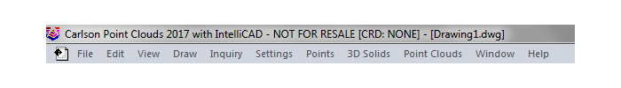
Menu Bar in Point Cloud 2017
The menus below are available in Carlson Point Cloud 2017
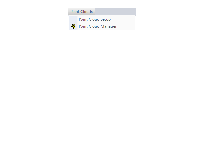
Point Clouds Menu
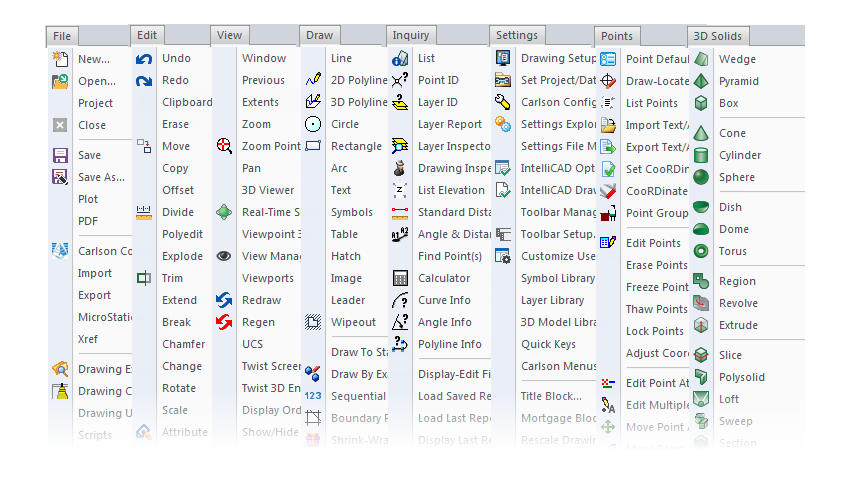
The menus below are in all non-OEM programs of Carlson 2017 desktop software
(Click image to see more)
![]()
Some content on this website was prepared with AI assistance. Please verify important information with the manufacturer or original source before making purchasing or financial decisions.
If you find the material on this website helpful, please consider supporting That CAD Girl by purchasing our products or services.
If you are interested in purchasing products or services we do not offer, we would love to refer you to one of our Trusted Partners. Please click here to send us a message with your request.