 Missed Carlson’s May specials? Never fear… they are now JUNE specials and have all been extended until 6/30/2020!
50% discount on renewals of expired maintenance – If your maintenance expired on or before 6/1/2019 you’re eligible for this 50% discount. Renew now to receive an immediate upgrade to 2020 plus an upgrade to 2021 when it comes out later this summer.
35% discount on upgrades of Survey and Takeoff with embedded AutoCAD (OEM)
25% discount on upgrades of SurvCE and SurvPC
All renewals through That CAD Girl include access to our live and interactive webinars. Follow this link for our upcoming schedule.
Request a custom proposal for maintenance renewals or upgrades
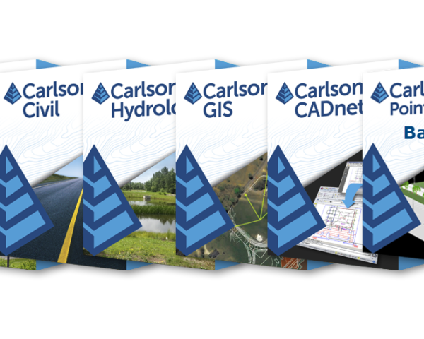
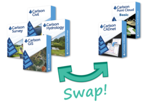
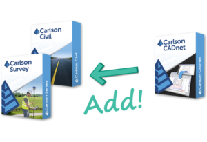
Other specials are available through That CAD Girl for Pick 3 (use coupon “pick320” at checkout), 3 months of webinars and Swap! or Add! modules within your current license.