That CAD Girl Webinar Series
About the Webinar Series
You can purchase at any time and the 12-months will begin on the date of the next webinar. For instance, if you purchase on 12/28 and the next webinar isn’t until 1/5, then your 12-months will end on 1/5 of the following year.
This purchase is for one person and will be registered by first name, last name and email address.
There will be a minimum of 2 webinars per month except for November and December.
As an additional bonus, purchase of 12-months access to our Webinar series also gives you a half-price registration to any other paid, online training sessions during your subscription period.
The list of upcoming webinars can be found here. The webinars are live and interactive and you will have an opportunity to ask questions and have them answered.
Depending on your state’s licensing and professional development requirements, the minutes or hours spent in each webinar presentation MAY be accepted as continuing education credit for license renewal. Approximately twice a year we will use the Go To Webinar report feature that tracks ATTENDANCE and ATTENTIVENESS of each participant to send emails confirming your attendance at each webinar.
ALSO, each attendee MUST register and log into the session individually in order for Go To Webinar to properly track attendance and attentiveness.
PLEASE NOTE: These email confirmations do not guarantee that your state licensing board will accept the hours for PDH/CEU credit, but it may be worth calling or emailing to confirm whether they can be counted.
While some of my past webinars have been recorded and are publicly available here or on Carlson’s website, these webinars are available exclusively to those who have purchased new licenses of software from That CAD Girl in the preceding 12-month period or who have purchased this 12-month subscription.
You can learn more about our monthly webinars and other training here.
About the Webinar Series
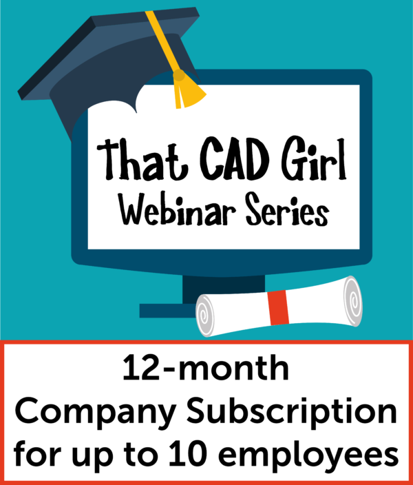
- Purchase a new license of CAD Software from one of our Trusted Partners and you may be eligible for a FREE 12-month, “Company-wide” subscription for up to 10 employees
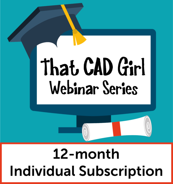
- If you don’t need more software, you can also purchase a 12-month, Company Subscription or Individual Subscription from our online store
- There will be at least 2 webinars per month, except for November and December
- Webinar Series presentations are approximately 1-hour long, are live and interactive
- Attendees will have an opportunity to ask questions during the presentation – both verbally or by typing them into a chat window
- Webinar attendance is tracked using a personal name and email address
- Certificates of Attendance will be provided to those who attend the live presentation AND use a personal name and email address when registering or logging into the session
- Read here to find out how you might receive PDH or CEU credit for the webinars
- Technology-permitting, and for a limited time, recordings of webinars will be made available for review to those who attended the live
- Other webinars are scheduled and added regularly upon request
Webinar Series Access for Current Customers
If you have trouble accessing your Customer Portal, please email us at [email protected].
Guest Access to Webinars
If you are not currently eligible, click the button below to request to attend as a guest.
Purchase Webinar Access
| Date & Time | Topic |
|---|---|
| October 2025 | |
| Wed October 15th - 1:00 | CAD and Carlson Tips & Tricks |
| Tues October 28th - 1:00 | Customizing Title Blocks and Sheet Set Manager in CAD |
| November 2025 | |
| Thurs November 6th - 12:00 | Taking Survey Projects from Field to Office with Emlid and YOUR CAD |
| Wed November 19th - 1:00 | Paper Space and Plotting in CAD |
| December 2025 | |
| Wed December 3rd - 1:00 | Survey Project from Start to Finish in Carlson |
| Wed December 18th - 1:00 | CAD Tips and Tricks - DimStyles and Custom Linetypes |
| We are currently on hiatus and will return with more webinars no later than June 2026 |
Webinar Descriptions
We will then use Carlson’s RoadNet command to automate the design of a network of roads, including intersections and cul-de-sacs.
Topics will vary but may include:
- 3d data – elevate menu
- Grading with Points
- LotNet
- SiteNet
- RoadNet
- Sections
Topics will vary but may include:
- Field to Finish
- Deed Entry
- Legal Desc Writer
- Raw File Editor
- LotNet
- Cogo Commands
- Import Shapefile
- Import MrSID
Some of the topics that may be covered are:
- Points by slope
- Create points on entities
- Creating points on a surface
- Set spot elevations
- Building offset extensions
- Set points on offset
- Offset points by interval
Some of the topics that may be included are:
- Digitizing or otherwise converting printed plans to CAD entities
- Quantity and material takeoffs
- Surface Model creation
- Trench templates and quantities
- Subsurface model creation using soil boring data
- Various reports and file output
- Carlson Configure
- Establishing and Saving default Carlson settings
- Drawing Templates
- Drawing Setup
- Toolbars
- Various commands under the general set of menus
- New drawings and CRD files
- Overview of points
Topics will vary but may include:
- Text Styles
- Lot and parcel annotation
- Creating surfaces from points and breaklines
- Defining and stationing centerline alignments
- Extracting profiles from surfaces
- Import/Export LandXML
- Features of Carlson Survey
Topics will vary but may include:
- Creating surfaces from points and breaklines
- Defining and stationing centerline alignments
- Extracting profiles from surfaces
- Import/Export LandXML
Some topics that may be discussed are:
- creating a working drawing from one or many design files
- drawing cleanup to minimize file size
- options for importing Land Desktop or Civil 3d data
- converting spot elevations to Carlson points
- elevating curbs, buildings and contours from spot elevations
Topics will vary but may include:
– Digitizing PDFs and other images
– Converting polylines to linework and text
– Importing MrSID, Google Earth and other images
– Importing BIM IFC files
Some of the topics that may be presented are:
- Importing and exporting of shapefiles
- Reviewing data with GIS Inspector
- Displaying and querying GIS data
- Attaching data to CAD entities
- Insert Google Earth and other publicly available imagery
Meet Our Guest Presenters
Webinar Descriptions
Topics will vary but may include:
- Carlson Configure
- Establishing and Saving default Carlson settings
- Drawing Templates
- Drawing Setup
- Toolbars
- Various commands under the general set of menus
- New drawings and CRD files
- Overview of points
Topics will vary but may include:
- Surface inspector
- Cut/fill color map
- Design pad template
- Volumes
- Pond design
- Creating daylight lines
- Walls
- Combining surfaces
- Export to LandXML
- Export to machine control files