FAQ
[FAQ305] What features & menus are in Carlson GIS? (a running thread)
Carlson GIS 2017
Features and Benefits of GIS 2017
Here are some of the things you can do with Carlson GIS:
- Take advantage of the Carlson/Esri® partnership with these and other CAD software commands:
- Import/Export Esri SHP files
- Export DWG file with Esri MSC data
- Export Esri Projection file
- Import and Export GIS Data between Carlson GIS and Carlson SurvCE
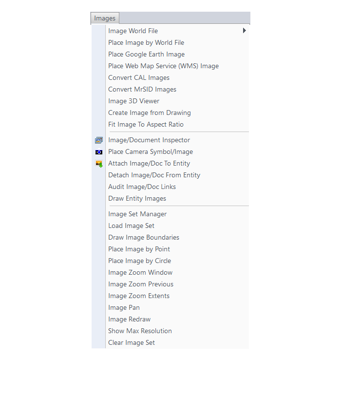
- Work with many image formats including:
- Geo-referenced images
- Google Earth images
- CAD software images
- MrSID images
- Convert GIS data to and from AutoCAD Map
- Query and Report GIS generated entities
- Hatch & Label GIS generated polylines
- Create, Audit and Erase links to GIS database
- Define Note file prompts for data collection
Menus in GIS 2017
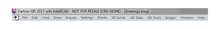
Menu Bar in GIS 2017
The menus below are available in Carlson GIS 2017
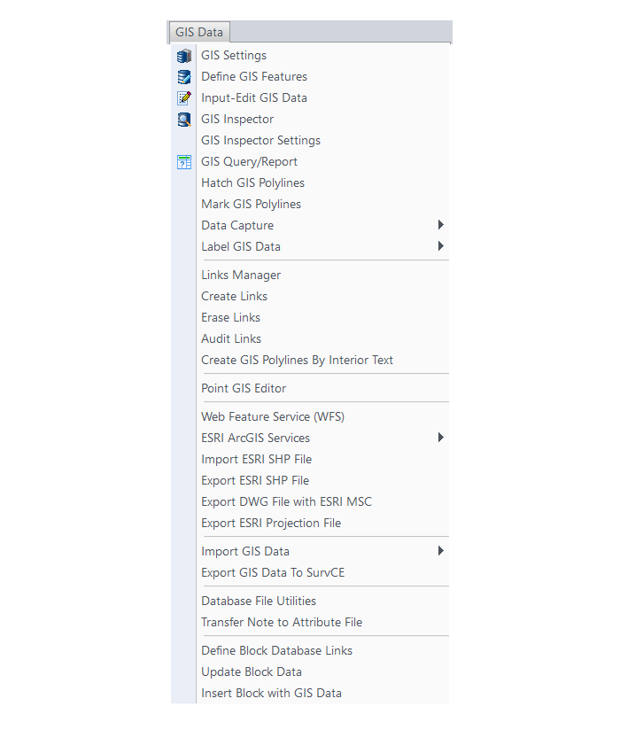
GIS Data Menu
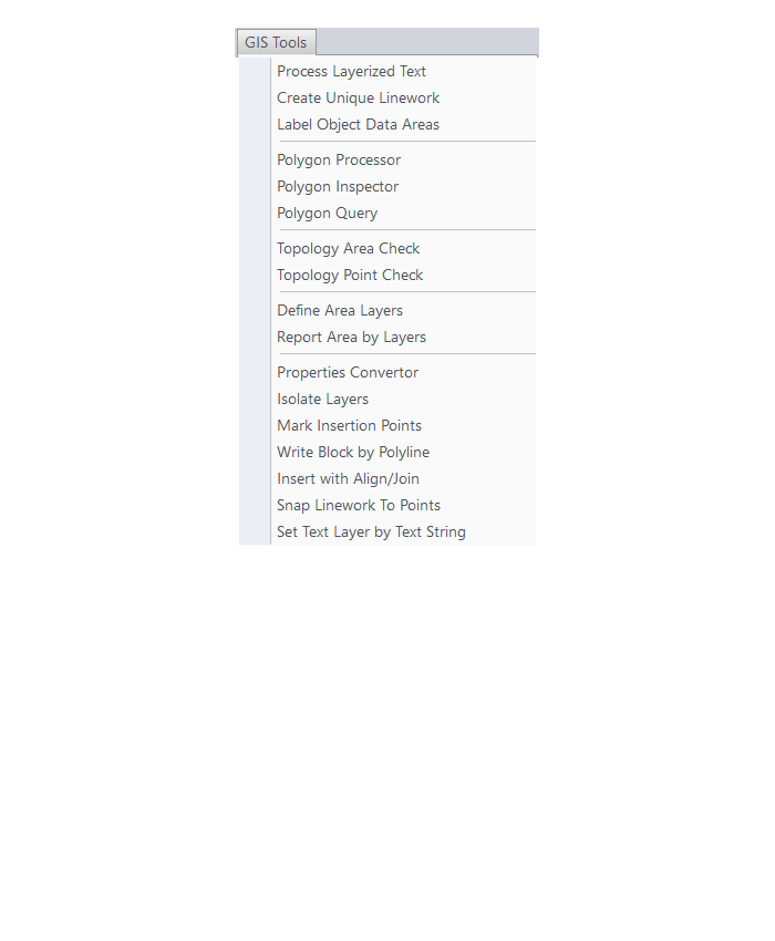
GIS Tools Menu
Images Menu
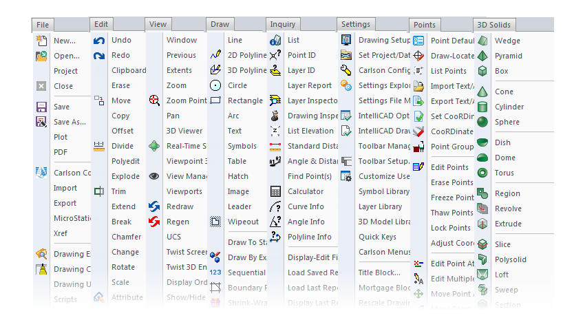
The menus below are in all non-OEM programs of Carlson 2017 desktop software
(Click image to see more)
If you find the material on this website helpful, please consider supporting That CAD Girl or one of Our Trusted Partners, by purchasing or referring others to us for CAD and desktop software support and training.